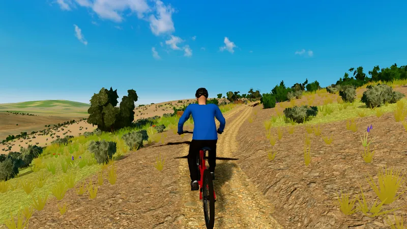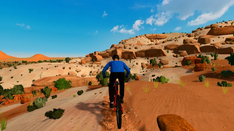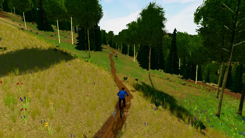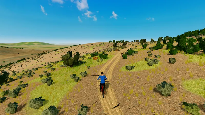
The ground is real
A watch's elevation drifts under tree cover and spikes on switchbacks, so GPS-built routes get fake 30% walls and lose the punchy pitches. DirtWatts lays each trail on the USGS 3D Elevation Program's bare-earth lidar, sampled every meter.
- Grades come from the ground, not your watch.
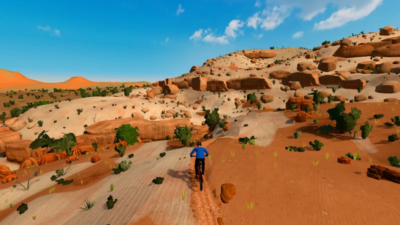
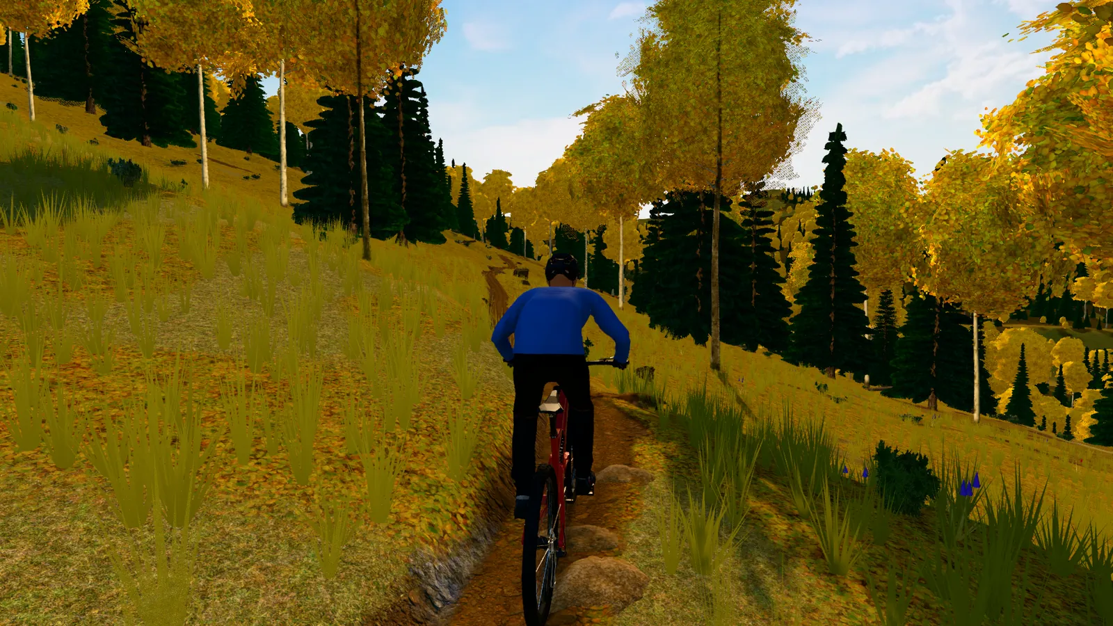
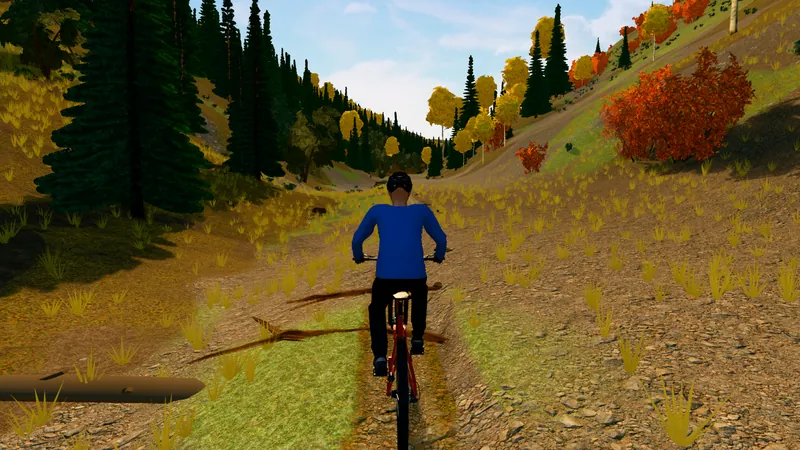
- The trail is cut into the hillside the way the real bench is.
- Terrain, vegetation and imagery are rebuilt around the route.